RSSIGICZM2018
Aplicação de Detecção Remota e SIGs para a Gestão da Zona Marinha e Costeira
CarbonoAzul 2018
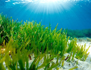
Carbono Azul y adaptación basada en ecosistemas: rol de humedales marinos y estuarinos frente a Cambio Climatico (énfasis manglares y pastos marinos)
Descripción General
El curso busca sentar las bases respecto a los conceptos y prácticas relacionadas con carbono azul (mitigación – captura de CO2) en humedales estuarinos (manglares) y marinos (pastos marinos), en el marco de la convención de cambio climático, el plan estratétigo Ramsar 2016 – 2024 y los objetivos de Desarrollo Sostenible 13 y 14. Busca también una retroalimentación e intercambio de experiencias por parte de todos los participantes de acuerdo a sus conocimientos y lecciones aprendidas en temas de conservación y manejo de ecosistemas marinos y costeros, sitios Ramsar o planificación de usos en el territorio. Se busca la apropiación y producción del conocimiento, así como el desarrollo de la capacidad crítica del estudiante orientada a prepararse para afrontar los efectos del cambio climático y generar redes y alianzas estratégicas regionales para cooperación.

PADDLE 2018
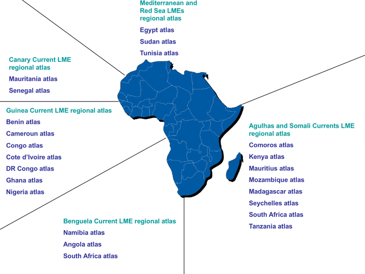
Comunidades Locais e Utilização do Ambiente Marinho
Ao longo da segunda jornada será desenvolvida uma sessão especial sobre os desafios ligados à utilização do ambiente marinho em África. Durante o workshop será ainda desenvolvido um exercício prático com a ferramenta SeaSketch (ferramenta de apoio à cartografia colaborativa para os oceanos – visualização e recolha de dados de participação pública). Este exercício permitirá demostrar o papel que as comunidades locais têm na construção das políticas de utilização do ambiente marinho.

DATAVIZ2018
Data Visualization of Marine Met data (using FERRET)
Data visualization is the science of describing the significance of data by placing it in a visual context. In the current scenario it is very useful for dealing with marine met data as patterns, trends and correlations that might go undetected in text-based data can be exposed and recognized easier with data visualization software.
The current course will demonstrate the use of open source software FERRET for generation of NetCDF data and visualize various types of plots, save and reuse them at a later stage. The course is designed to be a mix of both practical and theoretical sessions.
Aims and Objectives
- Provide an exposure to Data Visualization using FERRET.
- Generation of scripts to visualize various types of data sets (1D, 2D, 3D etc).
- Perform data analysis, generate added value products.

OADAM2018
Digital Repositories: the Pathway from Open Access to Digital Asset Management
This course will travel the pathway from digital repositories in the OA movement, stopping to discuss important repository parameters. Expansion as multimedia repositories and descriptions of their uses in digital asset management will bring participants to the crossroad discussion on using repositories as research information recording systems and how this transformation in digital repository uses has changed the role of libraries.
Duration: 5 days
INOS-UMT, Malaysia, September 2018

DISOPOC-INCOIS2018
Discovery and Use of Operational Ocean Data Products and Services
This course will demonstrate the data resources available from operational program. The focus will be on operational activities, how to download data and use software to visualize. It will be a mix of practical and theoretical.

FMSP2018
Foundations of Marine Spatial Planning
Increased activity in the coastal and marine environment has led to two important types of conflicts in the region: (1) conflicts among human uses (user-user conflicts); and (2) conflicts between human uses and the coastal and marine environment (user-environment conflicts). These conflicts weaken the ability of the ocean to provide the necessary ecosystem services upon which humans and all other life depend on. This course provides an introductory, but comprehensive, overview of CMSP. It focuses on describing a logical sequence of all the steps required to achieve desired goals and objectives for coastal and marine areas. This course does not focus on the technical details of any one of the steps and it is not intended to be a course that will help to develop a marine GIS or implement a performance monitoring system. When available, references to existing technical guides, handbooks, and websites are suggested in the course materials. This course can help professionals at the international, regional, national, and sub-national levels who want to know more about the promise and potential of CMSP as a way to achieve multiple goals and objectives, including sustainable economic development and biodiversity conservation within a specified coastal and marine area.
COASTMAP2018
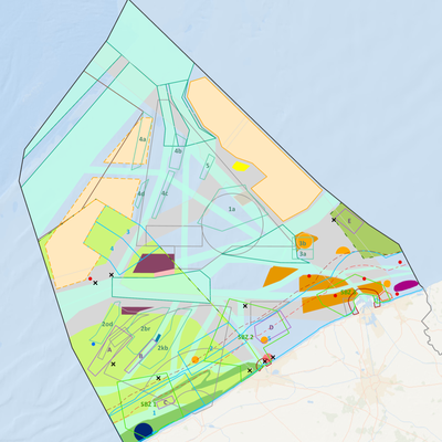
Geospatial Techniques for Coastal Mapping and Monitoring (using QGIS)
GEONODE
Introduction to GeoNode for Coastal Atlases
ICZM_MSP_2018
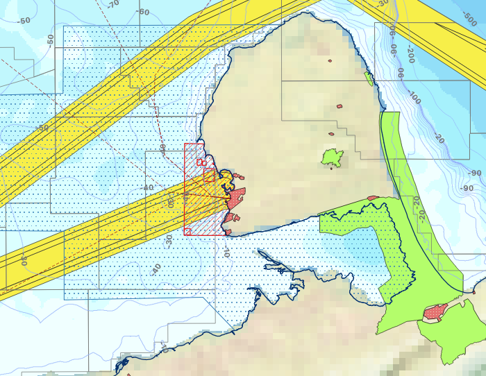
Manejo Integrado de Zonas Costeras y Planificación Espacial Marina / MIZC-PEM (2018)
Descripción general
El curso introduce conceptos y metodologías sobre Manejo Integrado de Zonas Costeras (MIZC) y Planificación Espacial Marina (PEM), sus aplicaciones en casos prácticos y, en general, herramientas que faciliten el trabajo a los encargados de gestionar y planificar el medio costero y marino.
Metas y Objetivos
- Proporcionar a los participantes conocimientos básicos sobre las zonas marinas y costeras, necesarios para un buen MIZC y PEM.
- Proporcionar a los participantes conocimientos básicos sobre los conceptos teóricos del MIZC y PEM.
- Infundir disposición para aplicar los principios y conceptos del MIZC y PEM en actuaciones cotidianas como actores interesados (funcionarios públicos o ciudadanos participantes).
- Facultar para analizar las ventajas y desventajas de las decisiones, tomadas o por tomar, a la luz de los procesos de MIZC y PEM.

OBIS KMFRI2018
Marine Biogeographic Data Management (Contributing and using OBIS)
OBIS Iran2018
Marine Biogeographic Data processing using OBIS
The course provides an introduction to the Ocean Biogeographic Information System (OBIS). This includes best practices in marine biogeographic data management, data publication, data access, data analysis and data visualisation. With the numerous datasets being generated through various projects and some old data yet to be captured in the database, this training provides an opportunity to manage this wealth of scientific knowledge.
MGISICZM2018BE
Marine GIS Applications for Integrated Coastal Zone Management

MSDM2018
Marine Species Distribution Modeling
The training course Marine Species Distribution modeling covers the background knowledge on marine biogeography, and the technical aspects needed to develop Species Distribution Models. Students will be trained in the basics of statistical modeling and guided through the modeling phases: compile distribution data from open access databases (e.g. OBIS) and environmental information from publically available ecological data layers using Geographic Information Systems, make informed decisions on parameter settings and select the best methods for developing distribution models, forecast distributions under different Climate Change scenarios, validate models and incorporate results in scientific manuscripts and technical reports.
The course includes theoretical lectures and hands-on exercises using predominantly case studies of marine macroalgae. Students are encouraged to bring their own datasets.
MBON-OBIS2018
MBON Pole to Pole of the Americas: using OBIS as data sharing and integration platform
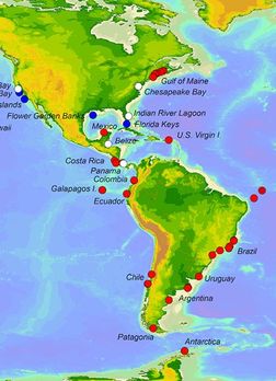
OBIS Chile2018
OBIS Marine Biodiversity Data Management
El presente curso se presenta como una oportunidad para actualizar la información acerca de los formatos y estándares que se utilizan en OBIS.
OBIS se encuentra en un trayecto de renovación y mejora de ciertos procedimientos, especialmente los que se refieren a los controles de calidad de los datos suministrados. Durante el presente curso se expondrán conceptos y procedimientos sobre: usos de la plataforma OBIS, procedimientos para organizar los datos según ciertos estándres y formatos, ¿cómo publicar datos en OBIS? y cuáles son las mejores prácticas para el aprovechamiento de los datos que se encuentran en OBIS.
ODMR2018
Ocean Data Management for Researchers
This training course is aimed at researchers at the post-graduate level and provides a comprehensive introduction to a variety of marine datasets and formats and the use of software for synthesis and analysis of marine data. The importance of good research data management practices and the role of researchers will also be highlighted. Personal projects are presented by the students at the end of the course.
MSP2018
OTGA/KMFRI/UNEP Marine Spatial Planning
Marine spatial planning (MSP) arises as a public process of analysing and allocating the spatial and temporal distribution of human activities in marine areas to achieve ecological, economic, and social objectives that usually have been specified through a political process. By mapping activities and determining the space for each activity, the process provides a characterization of current uses and helps to establish potential areas for future uses. This enables a policy process to better determine how maritime zones are sustainably used and protected, now and for the future of African generations. This course will provide an overview of the MSP process, taking into consideration Africa’s specific needs and the 2050 African Integrated Maritime Strategy as well as the expected impact of Blue Economy /Growth in Africa.
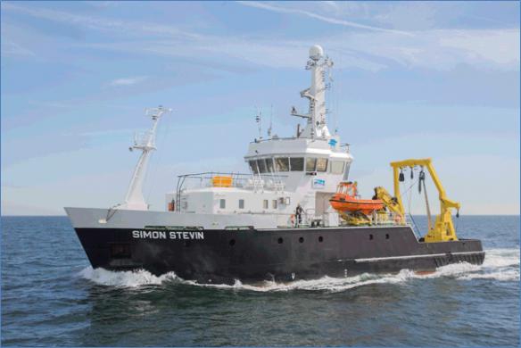
RCPM2018BE
Research Cruise Planning & Management
This course provides an overview of requirements for organizing a Research Cruise within a project and/or submitting a request for ship time. The course takes place mainly in a classroom but includes a visit to a Marine station and a research vessel, where participants will be introduced to sampling equipment and marine research infrastructure used for onboard research, including demonstrations of the use and maintenance of marine sampling equipment, oceanographic (biological, chemical and physical data) sampling, data collection and data management.