Tsunamis are relatively rare events and most of their evidence is perishable. Therefore, it is very important that reconnaissance surveys be organized and carried out quickly and thoroughly after each tsunami occurs, to collect detailed data valuable for hazard assessment, model validation, and other aspects of tsunami mitigation.
Since the early 1990s, post-tsunami reconnaissance surveys have been organized following each major destructive tsunami to make measurements of runups and inundation limits, to collect associated data from eyewitnesses such as the number of waves, arrival time of waves, and which wave was the largest, and to assess human response to tsunami danger. The surveys have been organized on an ad-hoc basis, facilitated and coordinated by the IOC and ITIC working with the affected country, and conducted by international academic tsunami researchers (International Tsunami Survey Team, ITST). The IOC-ITST Post-tsunami Survey Field Guide (Manuals and Guides 37, 1998, 2nd Edition 2014, IOC/2014/MG/37) provides a flexible framework for undertaking surveys, their guiding principles and protocols data types, and observations to be taken to standardize data collection.
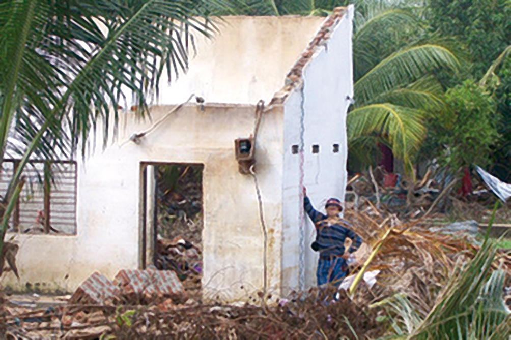
After a major tsunami, physical oceanographers, social scientists and engineers conduct post-tsunami surveys to collect information. These data, including runup, flow depth, and inundation, deformation, scour, building and structural impact, wave arrival descriptions, and social impact, are important for designing better mitigation to reduce the impacts of tsunami on life and property. Photo courtesy of Philip Liu, Cornell University.
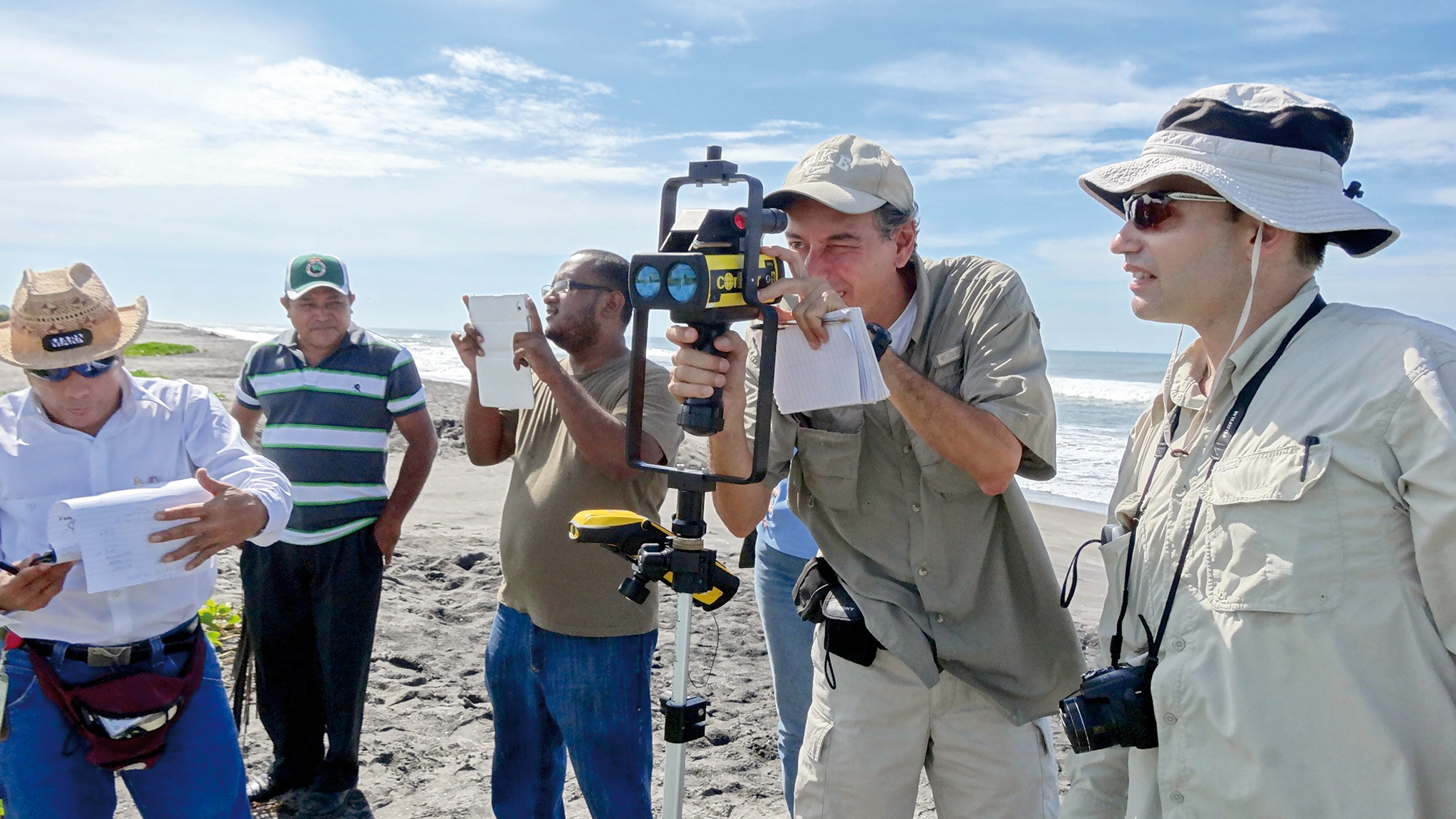
ITST measuring tsunami runup using laser rangefinder in El Salvador, 2012. Photo courtesy of ITIC.