rtcIndia
Courses tagged with "rtc::india"

QGIS_India2024
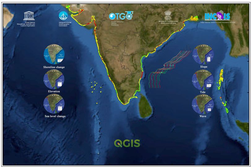
Coastal Vulnerability Mapping and Analysis using QGIS 2024

OCRS_India2024
Ocean Colour Remote Sensing - Data, Processing and Analysis 2024
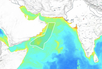
Ocean colour analysis is a proven tool for determining the health of
ocean using oceanic biological activity through optical means. Phytoplankton
pigment, chlorophyll, are indicators of equilibrium of CO2
concentration between atmosphere and ocean. The oceanic colour changes due to chlorophyll
a provides the level of primary productivity whereas the colour change due to
CDOM can be attributed to the level of pollution and higher particulate matter.
The ability of optical sensors to map the spatial and temporal patterns of
ocean colour over regional and global scales has provided important insights
into the fundamental bio-optical properties and bio-physical processes
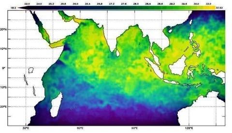
occurring in the aquatic media. Chlorophyll, SST and PAR can be operationally
scaled up to estimate primary production and estimate the fish stocks. This
training focuses on the basics of marine optics, ocean colour remote sensing,
and its applications such as mapping primary productivity, phytoplankton
classes and algal blooms.
Find all details about this course in: https://oceanexpert.org/event/4299 ;
Attendance to this course is by application only. Access will be granted to the selected participants.

OCRS_India2023
Ocean Colour Remote Sensing - Data, Processing and Analysis 2023
Ocean colour analysis is a proven tool for determining the health of
ocean using oceanic biological activity through optical means. Phytoplankton
pigment, chlorophyll, are indicators of equilibrium of CO2
concentration between atmosphere and ocean. The oceanic colour changes due to chlorophyll
a provides the level of primary productivity whereas the colour change due to
CDOM can be attributed to the level of pollution and higher particulate matter.
The ability of optical sensors to map the spatial and temporal patterns of
ocean colour over regional and global scales has provided important insights
into the fundamental bio-optical properties and bio-physical processes
occurring in the aquatic media. Chlorophyll, SST and PAR can be operationally
scaled up to estimate primary production and estimate the fish stocks. This
training focuses on the basics of marine optics, ocean colour remote sensing,
and its applications such as mapping primary productivity, phytoplankton
classes and algal blooms.

QGIS_India2023
Coastal Vulnerability Mapping and analysis using QGIS 2023

OCRS_India2022
Ocean Colour Remote Sensing - Data, Processing and Analysis
Ocean colour analysis is a proven tool for determining the health of
ocean using oceanic biological activity through optical means. Phytoplankton
pigment, chlorophyll, are indicators of equilibrium of CO2
concentration between atmosphere and ocean. The oceanic colour changes due to chlorophyll
a provides the level of primary productivity whereas the colour change due to
CDOM can be attributed to the level of pollution and higher particulate matter.
The ability of optical sensors to map the spatial and temporal patterns of
ocean colour over regional and global scales has provided important insights
into the fundamental bio-optical properties and bio-physical processes
occurring in the aquatic media. Chlorophyll, SST and PAR can be operationally
scaled up to estimate primary production and estimate the fish stocks. This
training focuses on the basics of marine optics, ocean colour remote sensing,
and its applications such as mapping primary productivity, phytoplankton
classes and algal blooms.

DUOOPS_2021
Discovery and Use of Operational Ocean Data Products and Services
The course is aimed to provide an introduction to operational oceanography, discovery and use of operational ocean data products and services, hands on for visualizing the in situ, remote sensing and model derived data products.
