ioc_programmeGoos
Courses tagged with "ioc_programme::goos"

OFS2024
Online Training on Ocean Forecast System
The Ocean model represents a numerical mathematical equation of the ocean and its interaction with the atmosphere and land. The ocean model in the Maritime Continent aims to capture the complex interaction between ocean and atmosphere in this region, therefore configuring an ocean model for a certain area needs to specify a specific domain, type of the equation and numerical methods used, the parameterization of sub grid-scale processes and forcing data used to drive the model, such as atmospheric data and boundary condition.
One of the most commonly used ocean models is the three-dimensional numerical model, which divides the ocean into a grid of cells and uses mathematical equations to simulate the physical processes within each cell. The model is initialized by ocean currents, temperature, salinity data, and other variables, and run over some time, typically several years, to simulate the evolution of the ocean under different conditions.
Among those models that existed, BMKG developed the BMKG Ocean Forecast System (BMKG-OFS) as one of the Meteo-Oceanography modelling systems used to support prediction and information about waves, ocean currents, salinity and sea temperature for the communities. The development of BMKG OFS is an attempt to fulfil community needs in various sectors such as sea transportation, fisheries, mining and energy, and marine-related activities.
BMKG OFS consists of 3 primary components: the Ocean Wave Model, Ocean Circulation Model, and Drifting model. The Ocean Wave Model named Ina-Waves is used to support sea wave information. The Ocean Circulation Model named Ina-Flows, is used to support current, salinity and sea temperature information at every depth. The drifting model is used to support object trajectory, sea level and coastal flood information.
This training will provide participants with a basic knowledge of ocean modelling in terms of marine warnings and forecasts. The way that the ocean numerical modelling system developed by BMKG supports operational analysis and forecast of ocean parameters (waves, ocean currents, sea temperature, salinity, and seawater level) will be also discussed. The processing and visualization of met-ocean data set from BMKG-OFS using open-source applications will be discussed briefly as supporting tools for data observation in the provision of marine meteorology services.
Learning outcomes:
- Understanding the basic concept of Ocean Observation Systems in the Maritime Continent
- Understanding the numerical ocean model and its configuration
- Understanding the ocean model configuration utilization
- Understanding visualization and utilization of ocean forecast system model
Course content:
- Introduction Lesson :
- Overview of Online Training on OFS
- Building Learning Commitment
- Lesson 1: The Concept of the Ocean Observation System in Maritime Continent
- Lesson 2: Numerical Ocean Model and the Configuration for Marine Forecast and Warning
- Lesson 3: Ocean Model Configuration
- Lesson 4: Visualization and Utilization of Ocean Forecast System Model
Target audience:
- Meteorologists
- Oceanographers
- Researchers
- Marine Data Analysts
- Marine Forecasters
Language of instruction: English
Instructors/Trainers:
Email: ahmad.fadlan@stmkg.ac.if
Specialization: Meteorologist, Marine Weather Observer and Analyst
Email: madona@bmkg.go.id
Specialization: Seismology
Email: khafid.pratama@bmkg.go.id
Specialization: Ocean Modeling, Physical Oceanography, Coastal Dynamic
Rafika Eka
Email: rantifa.agustira@bmkg.go.id
Specialization: Marine Meteorology, Ocean Numerical Model
Course duration and format:
25 hours (online) over a one-week period.
The course consists of the following formats but is not limited to:
- Lectures :
- Asynchronous sessions (using recording and tutorial video, reading, discussion forum)
- Synchronous sessions (webinar using Zoom Meeting Application, including breakout room activities for group activities)
- Discussion (synchronous and asynchronous via forum)
- Practice Exercises
- Case studies
- Manuals and Tutorials
- Games and Quizzes
- Demonstrations
- Project presentations
- Coaching
Learning assessment:
- Pre-Test and Post-Test: These tests are conducted before and after the training to assess the knowledge and skills gained by participants during the program.
- Quizzes: This encourages participants to review and solidify their understanding of the material.
- Learning journal: It is a reflective tool that allows participants to record their thoughts, experiences, and insights from the day’s learning activities. The tool encourages deeper understanding by prompting participants to think critically about their learning.
Pre-requisites:
- Good working knowledge of English
- Familiar with basic oceanographic
- Beginners will be given prioritized in this course
Certificate: Certificate will be issued for participants who ● Certificates will be issued for participants who attempt the pre-test and post-test quizzes and submit the learning journals. At the conclusion of the course, you will be asked to complete the post-course feedback survey to rate how the course has met your expectations.
Cancellation policy:
In the event of cancellation of the course by the OTGA or its affiliates, we will provide notification of cancellation at least 7 days prior to the course date. In the event of cancellation by the attendee, we should receive notification of cancellation at least 7 days prior to the course date.

Observador de Hielo Marino y Témpanos 2024
Las observaciones de hielo marino y témpanos son una fuente de información sobre lugares remotos como las regiones polares y son de gran utilidad para la cartografía de hielo y la validación de estudios climáticos.
Este curso está diseñado para certificar la capacidad de los observadores en aguas polares desde el proceso de formación del hielo marino hasta la realización de observaciones desde buques o estaciones utilizando el Sistema de Información Glaciología (SIGLAC). Además, se darán los conocimientos para la interpretación de cartas de hielo y otras herramientas para usos operativos.

SATData2024
Training on the Implementation of Satellite Altimetry Data for Operational Metocean Services
The training course will focus on utilizing satellite
technology to provide accurate wave height and sea surface height information
to support marine operations. Several types of
satellite altimetry data will be explored. By the utilization of satellite
altimetry data, forecasted wave height output from Numerical Weather Prediction
(NWP) will be verified. The course will also examine the usage of
various satellite observations to monitor significant
wave height, sea surface height, and sea level rise. Throughout the course,
trainees will have the opportunity to develop their skills in satellite data
processing, interpretation, analysis, and visualization.
OFS2023
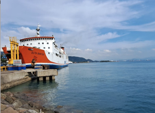
Ocean Model Configuration for OFS Implementation 2023
The Ocean Forecast System provides information on early marine weather conditions, especially during extreme events. The next level of the Ocean Forecast System utilization is to understand the coastal resilience in order to be able to mitigate the disaster risk. This course brings the practical and analytical knowledge of the Ocean Forecast System (OFS) to approach and analyze coastal resilience, and then mitigate the disaster risk, during extreme events, in particular.
SEAICE_2023ES
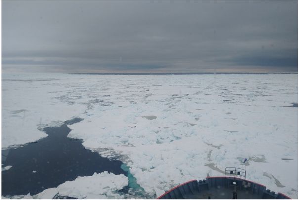
Observador de Hielo Marino y Témpanos 2023
Las observaciones de hielo marino y témpanos son una fuente de información sobre lugares remotos como las regiones polares y son de gran utilidad para la cartografía de hielo y la validación de estudios climáticos.
Este curso está diseñado para certificar la capacidad de los observadores en aguas polares desde el proceso de formación del hielo marino hasta la realización de observaciones desde buques o estaciones utilizando el Sistema de Información Glaciología (SIGLAC). Además, se darán los conocimientos para la interpretación de cartas de hielo y otras herramientas para usos operativos.
![Observador de Hielo Marino y Témpanos [virtual]](https://classroom.oceanteacher.org/pluginfile.php/71626/course/overviewfiles/sea-ice.jpg)
SEAICE_2023ES-2
Observador de Hielo Marino y Témpanos [virtual]
Las observaciones de hielo marino y témpanos son una fuente de información sobre lugares remotos como las regiones polares y son de gran utilidad para la cartografía de hielo y la validación de estudios climáticos.
Este curso está diseñado para certificar la capacidad de los observadores en aguas polares desde el proceso de formación del hielo marino hasta la realización de observaciones desde buques o estaciones utilizando el Sistema de Información Glaciología (SIGLAC). Además, se darán los conocimientos para la interpretación de cartas de hielo y otras herramientas para usos operativos.
FishMan_2022
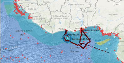
Earth Observation data and techniques for fisheries management
Fishing vessel traffic data derived from Automatic Identification System (AIS) has become an essential component for building fisheries intelligence. Enforce and related fisheries management strategies rely on such information to curb illegal fishing, plan and implement policies for the sustainability of marine living resources.
Fisheries managers and enforcers require specialized skills to processes the large volume of positional, navigational and voyage related information embedded in AIS data. Open-source programming software such as Python has lots of third-party modules for building packages and functions. This makes Python an asset for the creation of customized data processing, analyses and visualization to support in making informed decisions in the management of natural resources.
This training course will provide participants an understanding of the movement of fishing vessels and skills in processing AIS data.

SEAICE2022ES
Observador de Hielo Marino y Témpanos 2022
Las observaciones de hielo marino y témpanos son una fuente de información sobre lugares remotos como las regiones polares y son de gran utilidad para la cartografía de hielo y la validación de estudios climáticos.
Este curso está diseñado para certificar la capacidad de los observadores en aguas polares desde el proceso de formación del hielo marino hasta la realización de observaciones desde buques o estaciones utilizando el Sistema de Información Glaciología (SIGLAC). Además, se darán los conocimientos para la interpretación de cartas de hielo y otras herramientas para usos operativos.
OFS2022
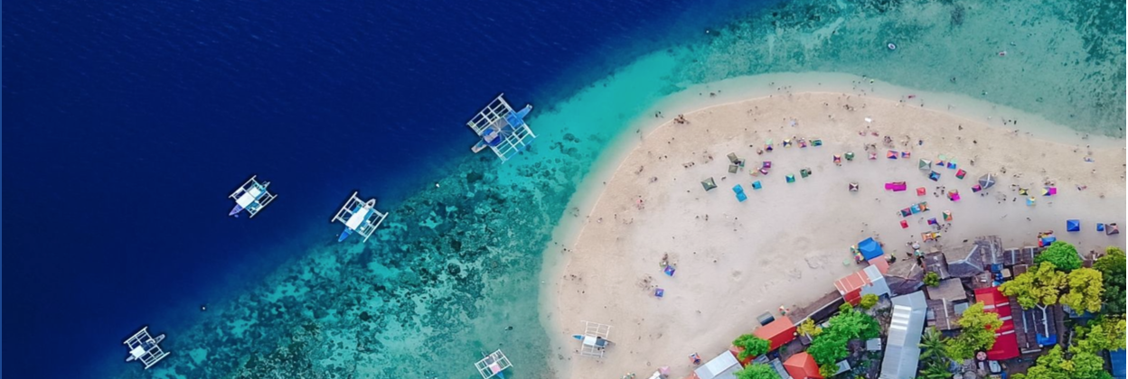
The Ocean Forecast System Course: Coastal Resilience and Disaster Risk
The Ocean Forecast System provides information on early marine weather conditions, especially during extreme events. The next level of the Ocean Forecast System utilization is to understand the coastal resilience in order to be able to mitigate the disaster risk. This course brings the practical and analytical knowledge of the Ocean Forecast System (OFS) to approach and analyze coastal resilience, and then mitigate the disaster risk, during extreme events, in particular.
OOFS_Implementation 2021
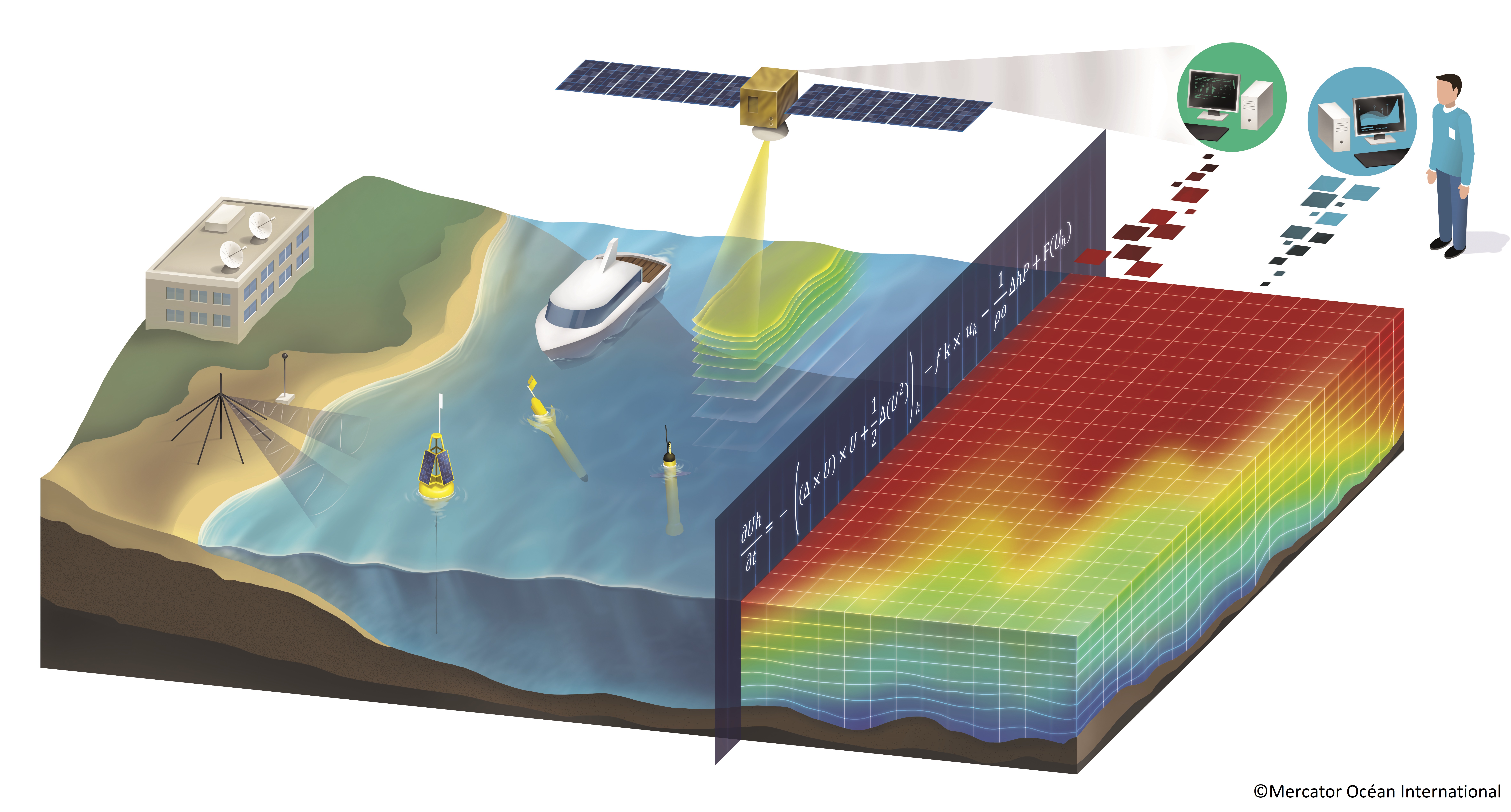
Implementing an Operational Ocean Monitoring and Forecasting System (OOFS)

SEAICE_2021
Observador de Hielo Marino y Témpanos 2021
Las observaciones de hielo marino y témpanos son una fuente de información sobre lugares remotos como las regiones polares y son de gran utilidad para la cartografía de hielo y la validación de estudios climáticos.
Este curso está diseñado para certificar la capacidad de los observadores en aguas polares desde el proceso de formación del hielo marino hasta la realización de observaciones desde buques o estaciones utilizando el Sistema de Información Glaciología (SIGLAC). Además, se darán los conocimientos para la interpretación de cartas de hielo y otras herramientas para usos operativos.
OFS2021
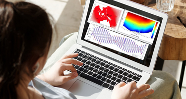
Ocean Forecast System
SMEE_2021
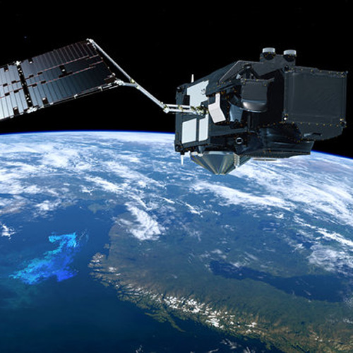
Supporting Marine Earth Observation Educators
OOFS_Awareness 2021
