Thanks to their personal commitment and professional excellence OceanTeacher Academy is able to provide training by experts in the fields of oceanographic data and information management and related domains.
On this page, you will find some information on each of our Lecturers (in alphabetical order). Based upon emerging needs for continuous professional development the OceanTeacher Academy regularly welcomes new lecturers. Profiles of the lecturers associated with OceanTeacher in the past can be viewed at: Former instructors and collaborators.
| Paula Cristina Sierra-Correa is Colombian. Currently she is a PhD candidate on marine ecosystem-based adaptation to climate change. She is a marine biologist from Universidad Jorge Tadeo Lozano (1996). Specialist on remote sensing and geographical information systems applied to coastal zones (1999). She develops her MSc on geo-informatics and Coastal Zone Management (2001) at International Institute For Aerospace Survey And Earth Science – Twente University, The Netherlands. Since 1996 she works at INVEMAR. In 1997 she joins as a member of the integrated coastal zone management (ICZM) research group recognized by Colciencias (national agency in Science, Innovation and Technology). After that, she was promoted as a leader of research and information for marine and coastal management at INVEMAR. Currently she is a coordinator of GEF project “Design and Implementation of Marine Protected Areas Subsystem in Colombia”, Coordinator of Regional Training Center for Latin America into the OTGA strategy of IODE-IOC-UNESCO. She has expertise in coastal planning and policy options, climate change (impacts, vulnerability, adaptation and mitigation), and focus on uses of information technologies across those topics. She participated in elaboration, execution and coordination of more than 25 research projects (at least 5 international projects); and she was a trainer in more than 12 ICZM and MPA course in Colombia, in the last 15 years. Author of more than 20 scientific publications. | 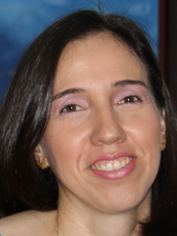 |
| Julian Pizarro is head of the laboratory services information that belongs to the Marine and Coastal research institute INVEMAR, Colombia. Specialist in software development with more than 10 years of experience in the elaboration of information services that support Colombia's marine and coastal management. He is the marine environmental information system coordinator which is the base of the knowledge in marine and coastal issues and instructor of the marine GIS and Marine Biogeographic data management courses (contributing to the use of OBIS) for the RTC Colombia. | 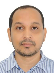 |
|
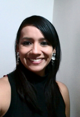
Venus Rocha is topographic engineer and a research in the Marine and Coastal Research Institute in Colombia with experience in the area of geographic information systems, works mainly in projects of basic environmental research and applied renewable natural resources and the environment in coastal and marine ecosystems and ocean areas of interest for Colombia. The products generated through different projects have served to policy, decision-making and the development of plans and projects for the sustainable management of resources and the recovery of the marine and coastal environment in Colombia. Ms. Rocha participated as an Instructor in the OceanTeacher Course Marine Biogeographic Data Management (contributing and using OBIS) Regional training center for Latin America, Santa Marta Colombia. |
 |
| Jaime Ricardo Cantera Kuntz. Biólogo de la Universidad del Valle, con doctorado de tercer ciclo de estado en Oceanología en la Universite D'Aix-Marseille II, Marsella, Francia) y Postdoctorado del Centre d´Oceanologie de Marseille y de la Station Marine d´Endoume. Profesor titular de la Universidad del Valle con desde 1978. Profesor Emérito en 1991. A lo largo de su carrera ha realizado investigación en ciencias del Mar en los grupos taxonómicos moluscos y equinodermos y en ecología de estuarios, manglares, arrecifes de coral y costas rocosas. Director del grupo de Investigación Ecología de Estuarios y Manglares (ECOMANGLARES). Ha dirigido cerca de 25 proyectos de investigación. Cuenta con 76 publicaciones internacionales y 54 nacionales. Ha publicado 8 libros y varios capítulos de libros. Ha sido Jefe del departamento de Biología y Decano de la facultad de Ciencias Naturales y Exactas de la Universidad del Valle. Coordinador del proyecto binacional GEF_PNUD (Argentina-Uruguay) para la conservación y recuperación del estuario Rio de la Plata. Ha sido miembro del Consejo nacional del Programa de ciencias y tecnologías del mar de Colciencias, CONACES, presidente de ACOFACIEN y evaluador de programas doctorales de la Asociación Iberoamericana de postgrados, AUIP. Miembro de número de la Academia Colombiana de Ciencias Físicas, Exactas y Naturales. | 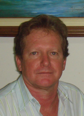 |
| Néstor E Ardila is the scientific director of the ECOMAR Environmental Consultancy. He has a degree in marine biology from Universidad Jorge Tadeo Lozano in Bogotá, Colombia, a graduate degree in marine biology from the Universidad Nacional de Colombia and a PhD in Sciences from the Universidad de Los Andes. He has worked on the taxonomy and assemblage characterization of marine invertebrates, including groups such as mollusks, polychaets and octocorals, with an extensive knowledge of sampling and monitoring in marine ecosystems on the Colombian Caribbean and Pacific coasts. He has conducted research on projects of characterization and inventories of benthic fauna. During his doctoral studies, he was working in the systematics of the precious corals reconstructing a time-calibrated molecular phylogeny and exploring the species delimitation of the precious corals. He frequently lectures on topics ranging from systematics and phylogenetics, marine ecology, climate change and conservation biology. Dr Ardila participated as an Instructor in the Ocean Teacher Course Design and Implementation of Marine Protected Areas organized by INVEMAR. | 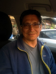 |
| Filomena Cardoso Martins has a PhD in Sciences Applied to Environment from the University of Aveiro, a Certificate of Pedagogical and Scientific Aptitude from the University of Aveiro and a degree in Geography from the University of Coimbra. She is an Associate Professor in the University of Aveiro, at the Department of Environment and Planning. She lectures under graduated and graduated courses of Coastal and Marine Management and Protection, Atmospheric and Marine Risk, Sea Policy and Law, Environmental Planning, Physical and Human Geography. Presently, she is vice-director of Marine and Atmospheric Sciences Master (2nd cycle Bologna), Coordination Member of Erasmus_Mundus PhD in Marine Coastal Management, member of the UA Sea Technology Platform Coordination Committee; Member of the "UARiadeaveiro" (www.ua.pt/riadeaveiro) group (promoted by the University Rectory to better explore the concept of civic university on issues associated to the governance of Ria de Aveiro); Member of the UA Sustainability Mission Group (promoted by the University Rectory to promote sustainable development actions in the University). She was member of the Aveiro's University General Council (2009-2013. She was member of research teams of the University of Aveiro participating in several European and National sponsored projects in the fields of Coastal Management and Planning, Sustainable Development Conservation of Natural and Cultural Heritage, Risk Perception and Resilience (combining the natural, environmental, spatial and social dimensions). | 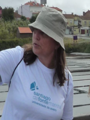 |
| Dr. Triñanes is an assistant professor at the Universidade de Santiago de Compostela. He currently serves as Operations Manager for the CoastWatch Caribbean and Gulf of Mexico regional node, and for the Atlantic OceanWatch node, both hosted at the Atlantic Oceanographic&Meteorological Laboratory (NOAA/AOML) in Miami. CoastWatch and OceanWatch are NOAA/NESDIS programs, and share similar principles and practices, providing portals for remotely-sensed data and data products. They focus on both near-real-time and historical datasets and on developing new technologies for data sharing and visualization. Dr. Triñanes' fields of expertise are: physical oceanography, satellite remote sensing, operational oceanography, database systems, service oriented architectures (SOA) and geographic information systems (GIS). | 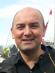 |
|
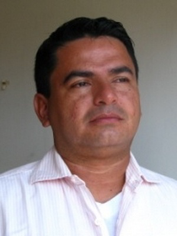
Dr. Mario E. Rueda is professor of the Doctoral in Marine Sciences at INVEMAR and other national Universities. His scientific interests include fish stock assessment, fisheries management, fisheries technology and fishing impacts. He has directed the work of approximately 40 researchers over 15 years in 25 research projects to date and has published 26 scientific articles in indexed journals and advised 11 students in marine sciences. |
 |
| Tim Boyer is an oceanographer working at the National Centers for Environmental Information (NCEI) at the National Oceanographic and Atmospheric Administration (NOAA) in Silver Spring, MD, USA. Tim earned his Masters Degree in Physical Oceanography from Old Dominion University (Norfolk, VA) in 1991. He has worked at NCEI (formerly the US National Oceanographic Data Center) since then. Tim manages the World Ocean Database (WOD), the world's largest uniform format quality controlled oceanographic profile database. Tim has provided software and oceanographic expertise for the WOD and for the gridded mean climatic mean fields of ocean variables which are part of the World Ocean Atlas (WOA) series. Tim also studies changes in the oceans heat and salt content and their implications for the Earth's climate system. Tim has contributed to scientific peer-reviewed publications and was a contribution author to the last three Intergovernmental Panel on Climate Change (IPCC) assessment reports. | 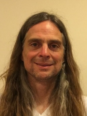 |
| Jyoti Nayak obtained her B.Sc. in Zoology and M.Sc. in GeoInformatics from The Energy and Resources Institute, India. She did various projects at NIO, Goa and MRSAC, Nagpur during her academia. She is currently working as a Project Assistant with Indian National Centre for Ocean Information Services (INCOIS). She is associated with Marine Fisheries Advisory Service and involved in operational generation and dissemination of potential fishing zone advisory to coastal community of India. She has almost 4 years experience in handling geospatial data and spatial analysis. | 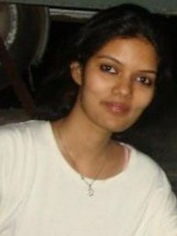 |
| N. Kiran Kumar is Scientist-C & In-Charge Web Based Services at ESSO-Indian National Centre for Ocean Information Services (INCOIS). He has M.Sc. Computer Science from Osmania University and is pursuing Ph. D from Andhra University. His specialization/research interests include web technologies, database management, geospatial technologies, disaster management (Tsunami Early Warning System) and location based services. He has contributed to the design, development of multi-lingual, dynamic WebGIS enabled INCOIS Website & Ocean Data Portal for providing web based ocean information and advisory services. Development of application software based on geospatial technologies and website integration for various components such as tsunami forecast system, unique Standard Operating Procedure (SOP), Decision Support System (DSS). | 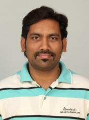 |
| R S Mahendra is Scientist-D and In-charge, Coastal Geospatial Applications Mission (CGAM), Indian National Centre for Ocean Information Services (INCOIS). His specialization is geospatial applications pertaining to coastal zone, coastal vulnerability and multi-hazard vulnerability mapping, coral reef mapping and monitoring, coastal processes and coastal zone management. He has M.Sc in Marine Geology and MS in Geoinformatics. He has published 13 papers published in peer reviewed journals, 18 papers presented in international/national conferences. | 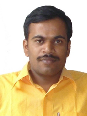 |
| P C Mohanty obtained his M.Sc in Oceanography, M.Tech in Remote Sensing & GIS from Indian Institute of Remote sensing, and Ph.D in Marine Science from Berhampur University, India. He is currently working as a Project Scientist with Indian National Centre for Ocean Information Services (INCOIS). He has 12 year research experience on coastal processes, sea-level change and assessment of coastal vulnerability and risk analysis pertaining to various natural hazards. | 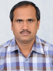 |
| Aidy M Muslim is currently the Director for Institute of Oceanography and Environment, Universiti Malaysia Terengganu, recognized as the High Centre of Excellence for the field of Oceanography and Marine Science in Malaysia. He started his career as a researcher at the Malaysia Centre for Remote Sensing under the Malaysian Ministry of Science Technology and Innovation (MOSTI) in 1995. He obtained his PhD in Remote Sensing from the University of Southampton in 2004. During this period, he was involved in various national committee involving project development, strategic planning and represented Malaysian Government in various international meetings. He has conducted various research on the application of space technology and data management especially in remote sensing, GIS and related technologies. His projects involves all sectors of national resources, environmental and disaster management, and strategic planning. Joining Universiti Malaysia Terengganu in 2008, he is also currently the principle lecturer for OceanTeacher Global Academy Regional Training Centre in Malaysia and is also responsible for management of the IODE Associate Data Unit (ADU) at the institute. He teaches courses on remote sensing, GIS and coastal management at the University. | 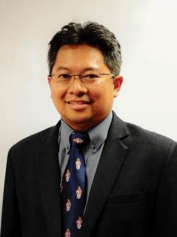 |
| Dr Mohd Fadzil is the Deputy Director of Research and Service at the Institute of Oceanography and Environment (INOS), Universiti Malaysia Terengganu. His research interest is in coastal physical oceanography, with emphasis on field observation and numerical modelling. He has played an active role in examining the southern south china sea, particularly in terms of ocean currents, wind, wave and its water masses. The most important aspect of his study is the dynamics of upwelling system in the southern South China Sea. Involvment with numbers of reserach project under the IOC/WESTPAC has allow him to establish regional networks under the SEAGOOS (South East Asia Global Ocean Observation System). So far he involves with two main regional project involving the ocean forecast system (OFS) and the upwelling studies and ocean data integration project where he serve as the project leader. Dr Fadzil also head a project group, MYCON (Malaysia coastal observation network) a collaborative work among Malaysian scientist from different institutions, that focus in the collection continous data monitoring along the Malaysia coastal waters using ocean buoy, wave glider and satellite imagery. | 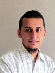 |
| Mohd Nasir Mohamad is a degree holder in Geology (BSc) graduated from Universiti Kebangsaan Malaysia (UKM). He is a senior science officer at the Institute of Oceanography and Environmental (INOS), Universiti Malaysia Terengganu (UMT) located in Terengganu, Malaysia. Currently, he is working with Geographical Information System (GIS) and Remote Sensing analysis, Spatial Data Management and INOS Marine Portal Database. He hold a certificate in diving and participated as a technician in various consultancy work doing Environmental Impact Assessment analysis (EIA) and also interested in light property and physical parameter study. In UMT, he teaches students in the field of GIS and remote sensing, and also involved in teaching Erasmus Tropimundo programme. As an IOC IODE Ocean Teacher Academy instructor, Nasir participated in teaching the module for Metadata Management using Geonetwork Course. | 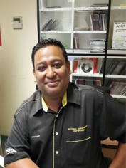 |
| Mustafa Man is an Associate Professor in School of Informatics and Applied Mathematics, Universiti Malaysia Terengganu (UMT). He started his service with UMT on 2nd February 2006. On 1st November 2016 he was appointed as Deputy Director of UMT Research Management and Innovation Centre until now. He started his PhD studies in July 2009. Prior to being confirmed by the company and finished his studies in Universiti Teknologi Malaysia (UTM) in the field of Computer Science in 2012. For the professional membership, he is also a member of the Institute of Doctors Engineers and Scientists (IDEAS) international (2011-2021). Other than become an assessor for research papers for the seminars organized at national and international level, he has been appointed as ICT Consultant to several companies such as MECIP Global Engineer Sdn. Bhd. who needs advice and guidance in the field of Information Technology and Communications. | 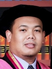 |
| Greg Reed is an internationally recognised oceanographic data management expert with significant experience in the development, implementation and operation of ocean data and information management infrastructures at national, regional and international scales. He is the previous Co-chair of the IOC's International Oceanographic Data and Information Exchange (IODE) committee and has more than 20 year's experience in the field of management and dissemination of ocean data and developing systems and programs instrumental in the collection, management and analysis of oceanographic data and information. He is the Chief Editor for OceanTeacher, the IODE capacity development system for oceanographic data and information management. He has taken a lead role in developing a capacity building framework for oceanographic data and information management for the IODE programme, including participation as course coordinator and lecturer at more than forty international training courses on aspects of data management and GIS. He provides training and support for projects to develop marine and coastal atlases. | 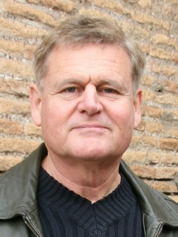 |
| Pauline Simpson has more than 30 years' experience in marine information management working for the National Oceanography Centre (NOC), Southampton, UK which was a joint initiative with the University of Southampton. There, she was Head of Information Services, Head of Engineering, Science and Mathematics Faculty Library Services and Head of Information Profession for the 6 research centres of the Natural Environment Research Council, UK. She has served on numerous national and international committees and was a founding member of EURASLIC (European Aquatic Science Libraries and Information Centres). She has a long history of involvement with the Open Access Movement: assisting with the design of the early EPrints Software and setting up digital repositories for Univ Southampton; NERC and IAMSLIC and over the years has been involved in several international OA/Repository projects. She also has a long history of working within the IODE Programme; for 9 years as Chair of the Group of Experts on Marine Information Management she initiated many of the information products that successfully continue today. Pauline uses her interest in open access; digital repositories; metadata; research data management; data publication and citation; data visualization; virtual research environments; education; communication and outreach and the evolving semantic web to contribute widely to the IODE Programme and its projects. Pauline moved to the Cayman Islands and is Programme Coordinator for the Central Caribbean Marine Institute whose mission is to sustain marine biodiversity through research, education, outreach and conservation. | 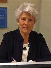 |
